LODGES IN CUYABENO
Wildlife near you and best price guarantee.
About
Cuyabeno
Reserve
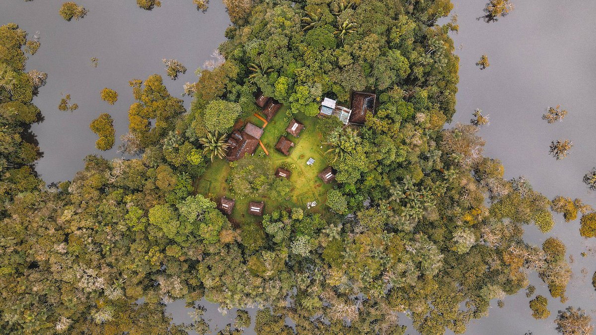
The Amazon region is characterized by large extensions of tropical forest where trees such as ceibo, sande and mahogany can easily reach more than 50 meters in height. However, there are areas where water replaces solid ground, rivers suddenly become narrow channels, large and medium-sized lagoons appear, and the canoe is the only way to move among the trees and vegetation. They are the flooded forests of the Amazon, a good part of which is protected within this great reserve. The protected area takes its name from the Cuyabeno River, which overflows in its middle course, creating a complex of 14 lagoons and forming the largest wetland in the Ecuadorian Amazon.
These flooded forests are the territory of dolphins, manatees, caimans, anacondas and otters, and of the guarango de agua, the most unique tree in the reserve; Thanks to its special adaptations, it can grow on the banks of rivers and lakes, creating a magical and mysterious environment that attracts thousands of visitors each year. The reserve is also considered one of the protected areas with the greatest cultural diversity in the Ecuadorian Amazon. Here there are communities of indigenous Siona, Secoya, Cofán, Kichwa and Shuar.
- Lagartococha
The Lagartococha River marks the border with Peru and the eastern limit of the reserve. Navigating this river and its small canals is an experience that is hard to forget, both because of the landscape offered by the flooded jungle and because of the variety of wildlife found, especially birds and monkeys. Here you can visit several lagoons, especially Imuya, Redondodocha and Delfincocha.
-
Zancudococha
The largest lagoon in the Ecuadorian Amazon is located in the lower part of the reserve, next to the Aguarico River. Its name, surprisingly, actually comes from the word Sionasecoya Soncorai, which means "Laguna del Sonco" in reference to a small fish that abounds here. Near the lagoon is the Kichwa community of Zancudo, which maintains a community tourism program.
- indigenous communities
Around the Siona indigenous communities of Puerto Bolívar, on the banks of the Cuyabeno River, and the Cofán community of Sábalo, on the banks of the Aguarico River, you can explore the tropical forest, take canoe rides on the rivers and buy local handicrafts made with seeds and other forest products.
The terra firme forest that covers most of the reserve is highly biodiverse; however, here we will refer only to the flora and fauna of the aquatic environments, which are those that characterize Cuyabeno. The guarango de agua, the most representative tree, grows in canals and on the edges of lagoons flooded by sewage (igapós).
Cultural aspects
The territory currently occupied by the reserve has had a human presence for a long time. Formerly the basin of the Aguarico river was inhabited by the "encabellados". The Spanish chroniclers gave this name to these people who wore long, highly decorated hair.
The Sionas and Secoyas who today live within the reserve descend from the ancient encabellados who lived in different areas. The Sionas lived further north, in the area between the Aguarico and Putumayo rivers, on the border between Ecuador and Colombia.
The Secoyas, on the other hand, inhabited the banks of the Napo on the Peruvian side; in 1940 they migrated to the banks of the Aguarico River, pressured by the rubber industry. The Cofan occupied, and still do, the upper basins of the Aguarico and San Miguel rivers. The current inhabitants of the Cofán de Sábalo community came down the rivers and in 1972 they settled in the central part of the reserve.
There are also several Kichwa communities, especially along the Aguarico River, in the area known as Playas de Cuyabeno -where it meets the Aguarico- and in the Zancudo area, at the eastern end of the reserve.
Geography
The reserve is located in the northern part of the Ecuadorian Amazon and includes the hydrographic basins of three important rivers: the Cuyabeno to the northwest, the Lagartococha to the east (which in turn borders with Peru) and the Aguarico that runs through the Cuyabeno RPF. from west to east.
Although the terra firme moist forest is the most abundant ecosystem in the reserve (and in the Amazon in general), it is the flooded ecosystems adjacent to the Cuyabeno and Lagartococha rivers that distinguish this protected area from others in the eastern region.
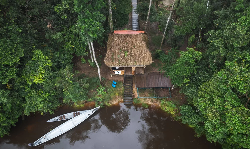
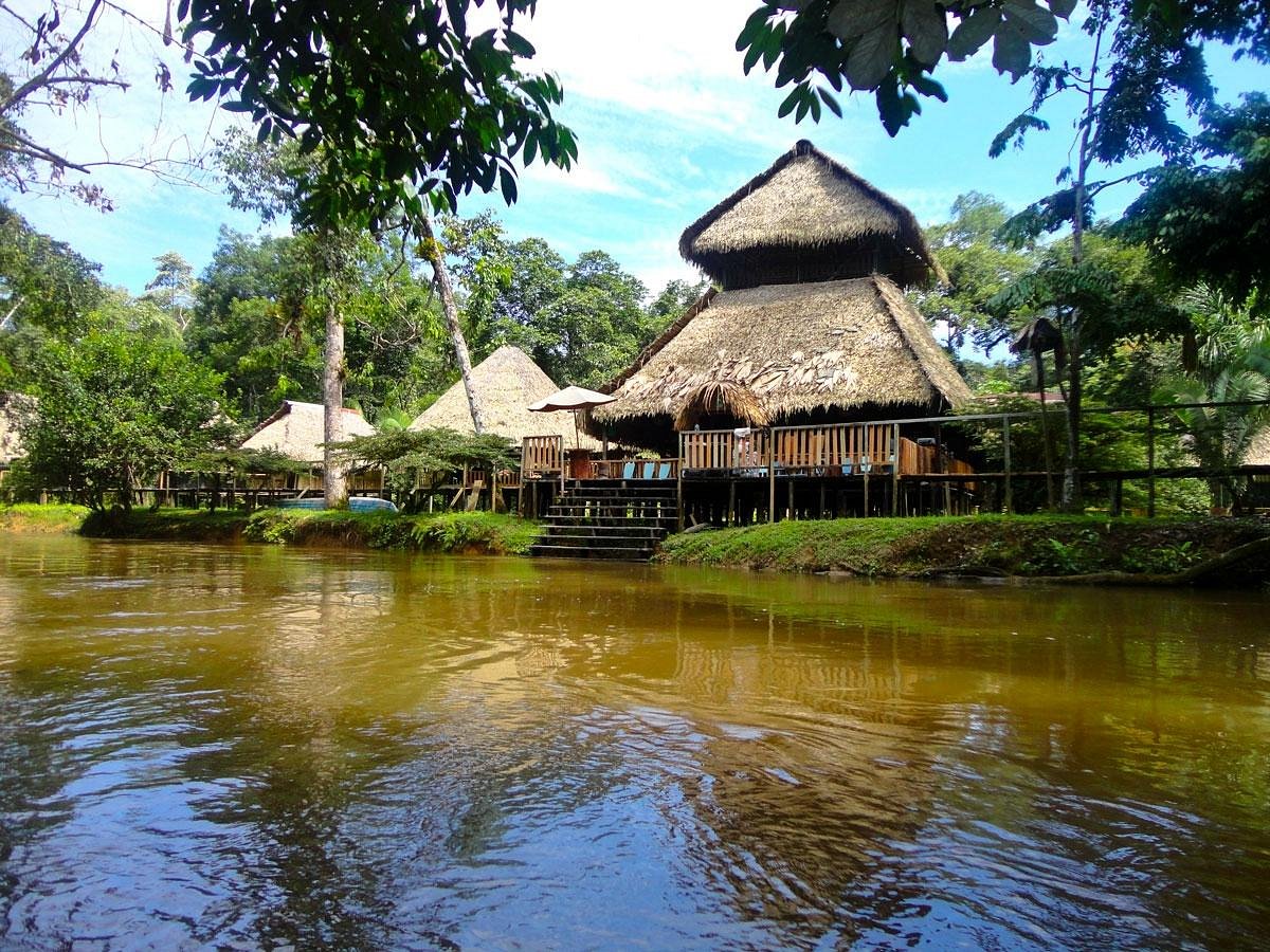
To learn more about the geography of this reserve and understand the dynamics of these forests, it is necessary to become familiar with the two types of rivers that exist in the Amazon and are also present in the reserve: whitewater and blackwater. Those of white waters originate in the mountain range and, as they descend towards the lowlands, they drag a large quantity of sediments that give the water a yellowish-tan color, like that of the Aguarico. The areas temporarily flooded by this water are called varzéas and are rich in sediments, so they are preferred for agriculture. In contrast, blackwater rivers are born in the same forest and their color is dark due to the presence of certain substances from the decomposition of plant material that falls into their waters. An example is the Cuyabeno and Lagartococha rivers.
The areas flooded by these rivers, known as igapós, can remain flooded for several months each year.
